Zoom: A working title for a work-in-progress
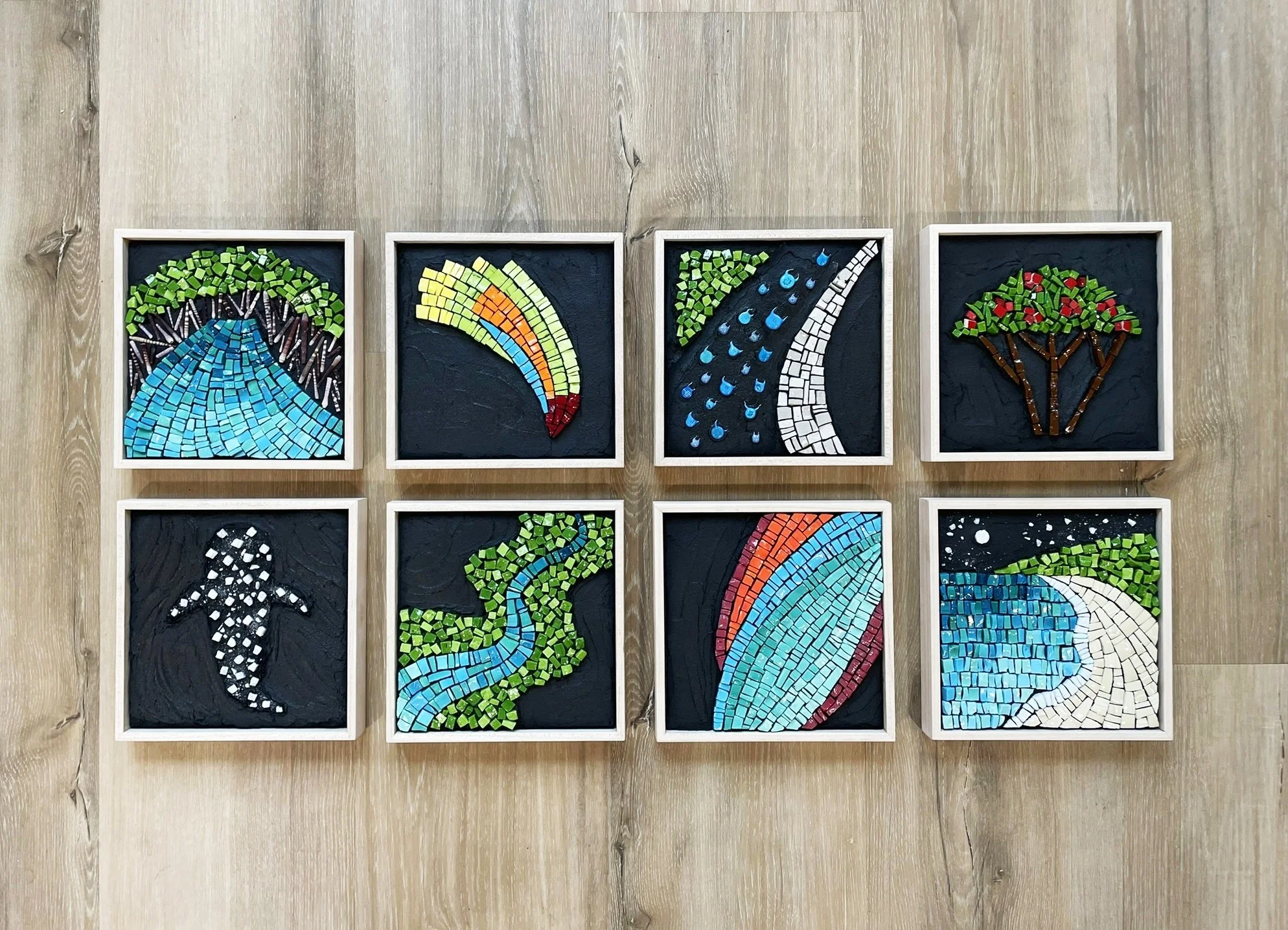
Johannah took a short creativity break from working on retail items like our mosaic coat racks and mirrors to create a series of images of our home base, Richmond, VA.
I've always loved maps. As a kid, I covered the walls of my room with poster-sized National Geographic maps. Today I love to discover hidden spots on maps to explore in real life, and track long trips with our kids. Maps offer a wide variety of information, and sometimes, a new way to look at the world around us.
Here are a few shots of the process so far in creating my new series of maps.
The first piece in the series is a roadmap of the metropolitan Richmond region. I wanted to create a look somewhere between the Google map we know today, and a classic road map. The four tiles on the right are background color options. The top three are glass. I ended up going with the unglazed porcelain at the bottom.
The second piece moves in a bit on the city of Richmond, focussing on the river and human development of the area. This image is based on a satellite image of the region. The river, downtown islands, and densest areas of development are completed here.
The third and final piece is an aerial view of the heart of downtown Richmond. This is a map of historic transportation routes in the city: interstate (completed here), railroad, street roads, and water.
The completed series (and my trusty tea mug) awaiting grout and frames.